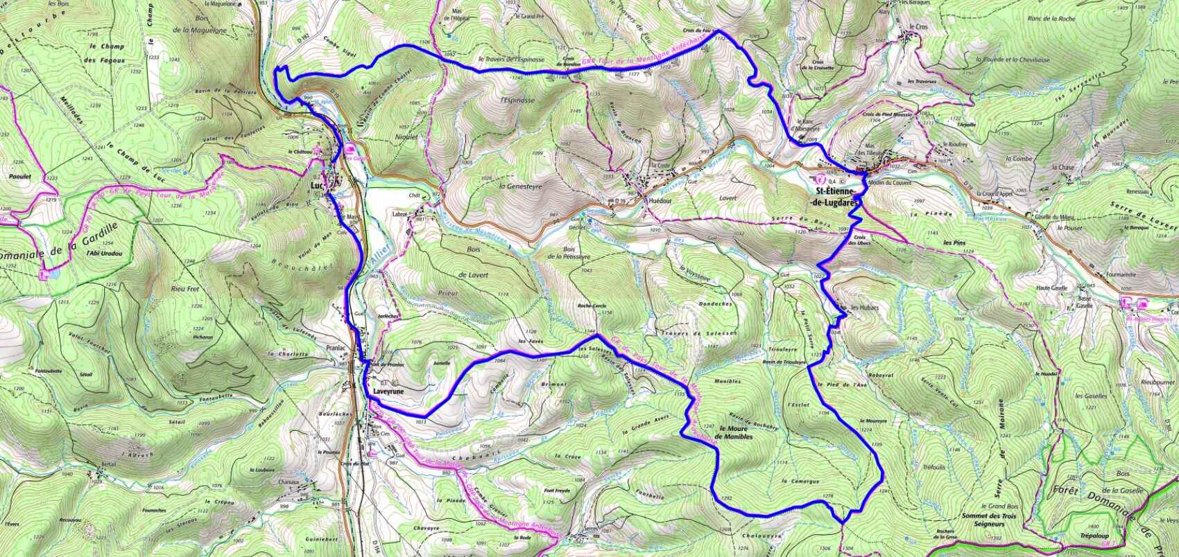

Distance : 21 km
Altitude maximum : 1 294 m
Altitude minimum : 959 m
Dénivelé positif : 677 m
Cartes IGN : 2737SB - Langogne Grandrieu, 2738SB - Le Bleymard La Bastide-Puylaurent, 2837OT - Lac d'Issarlès Thueyts Sources de la Loire, 2838OT - Largentière La Bastide-Puylaurent Vivarais Cévenol
Altitude maximum : 1 294 m
Altitude minimum : 959 m
Dénivelé positif : 677 m
Cartes IGN : 2737SB - Langogne Grandrieu, 2738SB - Le Bleymard La Bastide-Puylaurent, 2837OT - Lac d'Issarlès Thueyts Sources de la Loire, 2838OT - Largentière La Bastide-Puylaurent Vivarais Cévenol