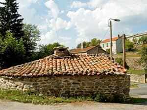
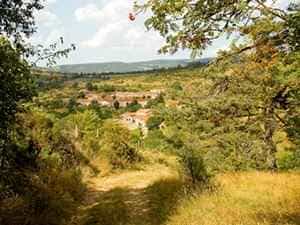
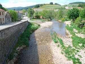
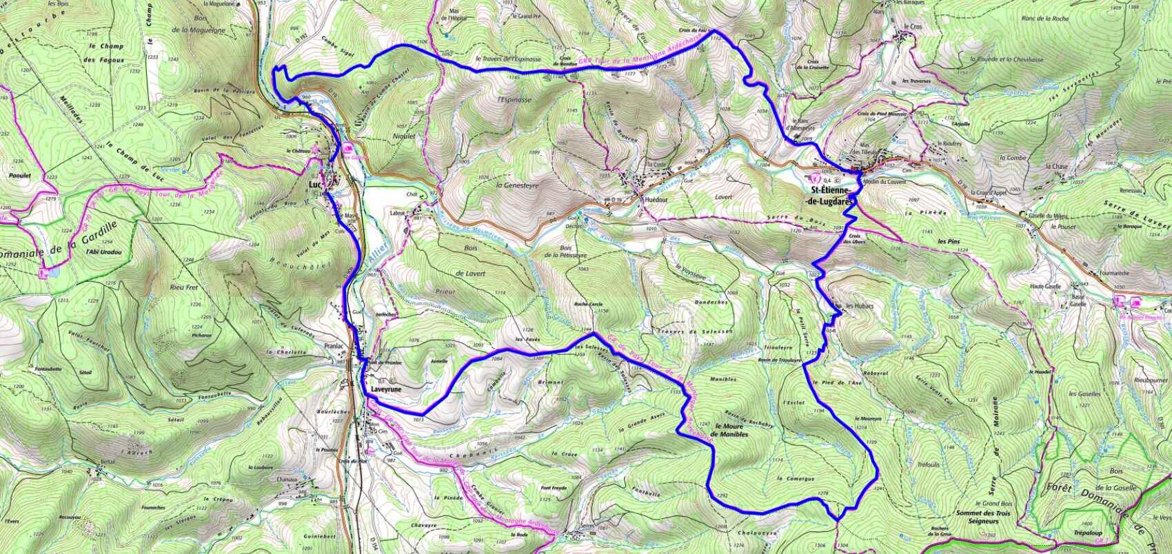
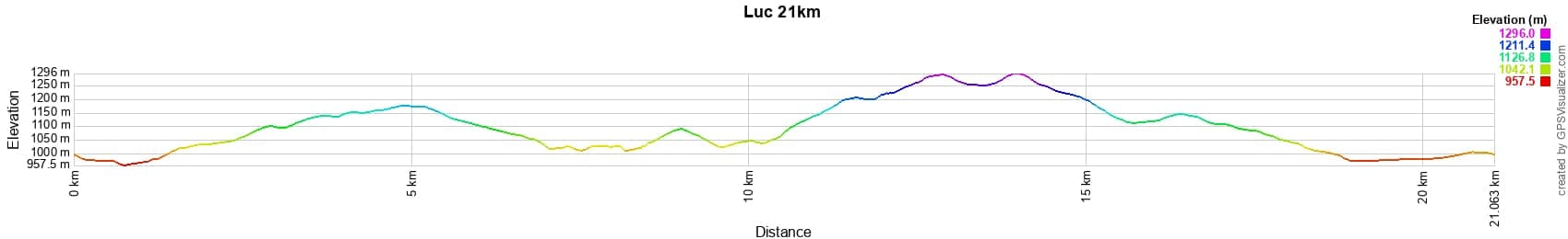
Vandring på 21km i Luc i LozèreWanderung über 21km in Luc in LozèreRuta de senderismo de 21km en Luc en LozèreEscursione di 21km a Luc in LozèreΠεζοπορία 21χλμ στο Λυκ στην ΛοζέρVandretur på 21km i Luc i Lozère

21km hike in Luc

21km patikointiretki Lucissa LozèressäFottur på 21km i Luc i LozèreRandonnée de 21km à Luc洛泽尔省吕克21公里徒步Поход 21км в Люке, Лозер21km wandeling in Luc in Lozère

Google Maps - Google Earth

IGN


Elevation Change


21 km loop hike starting from Luc in Lozère 1 21 km loop hike starting from Luc in Lozère 2 21 km loop hike starting from Luc in Lozère 3 21 km loop hike starting from Luc in Lozère 4 21 km loop hike starting from Luc in Lozère 5

qrcode-gpx

Distance: 21 km, Maximum Altitude: 1294 m, Minimum Altitude: 959 m, Total Elevation Gain: 677 m
IGN Maps: 2737SB - LANGOGNE GRANDRIEU. 2738SB - LE BLEYMARD LA BASTIDE-PULAURENT. 2837OT - LAC D'ISSARLÈS THUEYTS SOURCES DE LA LOIRE. 2838OT - LARGENTIÈRE LA BASTIDE-PUYLAURENT VIVARAIS CÉVENOL.


L'Etoile Guest-House between Cevennes, Ardeche and Lozere in the South of France

Former holiday hotel with a garden along the Allier, L'Etoile Guest House is located in La Bastide-Puylaurent between Lozere, Ardeche, and the Cevennes in the mountains of Southern France. At the crossroads of GR®7, GR®70 Stevenson Path, GR®72, GR®700 Regordane Way, GR®470 Allier River springs and gorges, GRP® Cevenol, Ardechoise Mountains, Margeride. Numerous loop trails for hiking and one-day biking excursions. Ideal for a relaxing and hiking getaway.

Copyright©etoile.fr