|
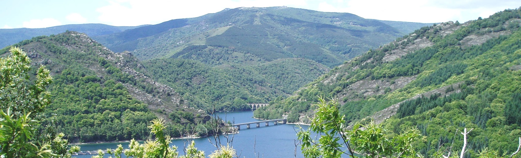
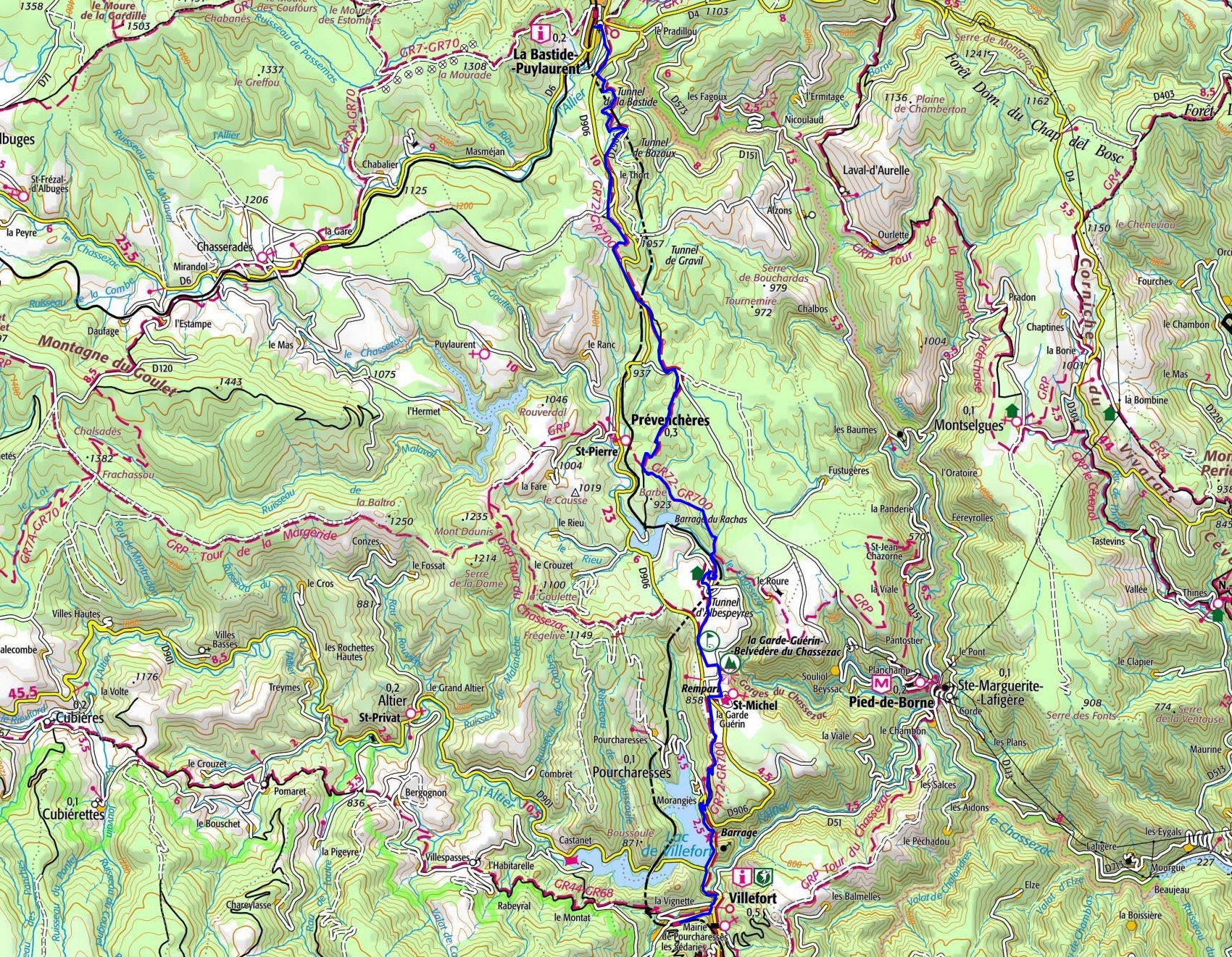
Loop hike in Lozere departing from La Bastide-Puylaurent to Villefort via le col du Thort, Prevencheres, Albespeyres, the Gorges of Chassezac and La Garde-Guerin following the GR®72 and the GR®700 Regordane way. |
.
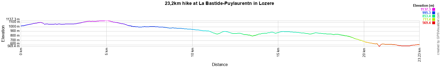
23,2km hike at La Bastide-Puylaurent
4km / 11km / 14km / 15,5km / 16,3km / 19km / 21,5km / 23,2km / 24km / 27km
 © GPX Private use only |
Distance: 23,2km, Elevation maximum: 1127m, Elevation minimum: 571m, Elevation gain: 378m
IGN Maps: La Bastide-Puylaurent (2738E). Mont Lozere Florac PN des Cevennes (2739OT).
Largentiere la Bastide-Puylaurent Vivarais Cevenol (2838OT).
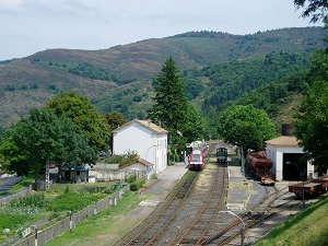
By train: Villefort to La Bastide-Puylaurent (SNCF timetable).