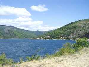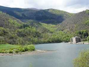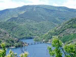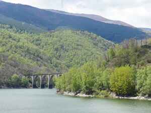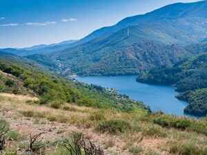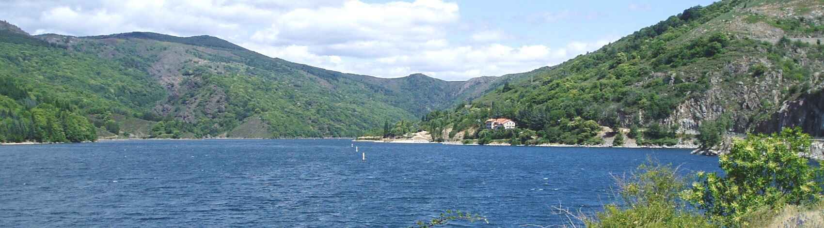
Lake Villefort is located 2 km north of the village of Villefort, in the Cévennes National Park. Covering an area of about 120 hectares, it is surrounded by lush hills and dense forests. The construction of the Villefort dam began in 1956 and was completed in 1960; it has a height of 41 meters and a length of 200 meters. Lake Villefort is home to rich biodiversity, with birds such as herons and ducks, mammals like deer and wild boars, as well as a diverse aquatic vegetation including underwater plants, reeds, and flowering meadows, creating a dynamic and balanced ecosystem. The lake has several designated swimming areas with secure access and fine sandy beaches. Lake Villefort, with its oxygen-rich waters and suitable temperature, provides an ideal environment for trout farming.
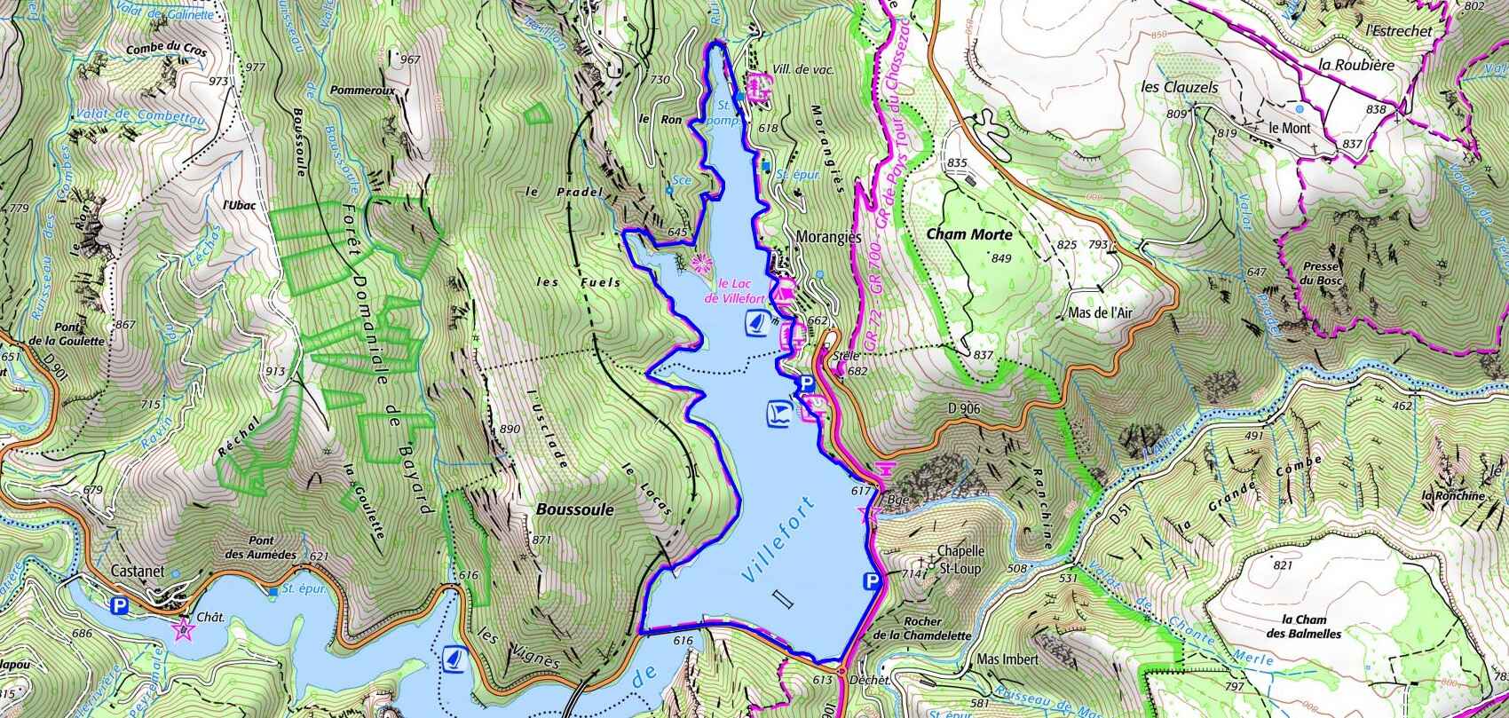

 Distance : 7.4 km,
Maximum altitude : 648 m,
Minimum altitude : 589 m,
Cumulative elevation gain : 140 m
IGN Maps : La Bastide-Puylaurent (2738E). Mont Lozère Florac PN des Cévennes (2739OT). Largentières la Bastide-Puylaurent Vivarais Cévenol (2838OT).