12 km vandring i Loubaresse i Ardèche12 km Wanderung in Loubaresse in der ArdècheCaminata de 12 km en Loubaresse en ArdècheEscursione di 12 km a Loubaresse in ArdècheΠεζοπορία 12 χλμ στη Loubaresse στην Αρδές12 km vandretur i Loubaresse i Ardèche

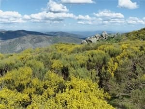
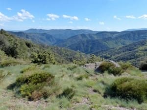
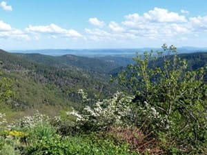
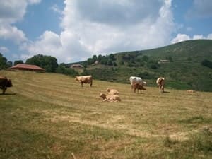
12 km hike in Loubaresse

12 km vaellus Loubaressessa Ardèchessa12 km fottur i Loubaresse i ArdècheRandonnée de 12km à Loubaresse在阿尔代什的Loubaresse徒步12公里12 км пешего похода в Loubaresse в Ардеше12 km wandeling in Loubaresse in de Ardèche
Tanargue Massif

Google Maps - Google Earth

IGN Map

Elevation Profile

Ardèche Mountain Tanargue Massif Ardèche Valgorge Valley Cow in Loubaresse

GPX QR code

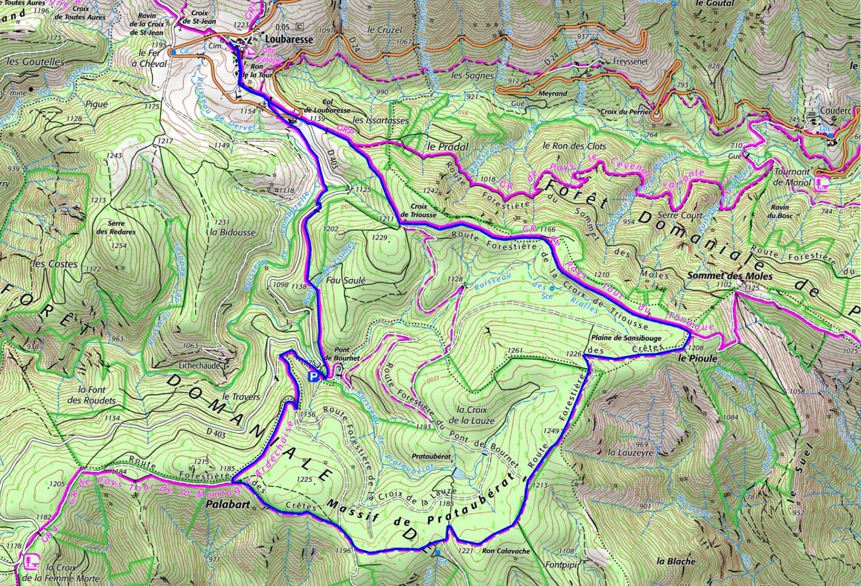
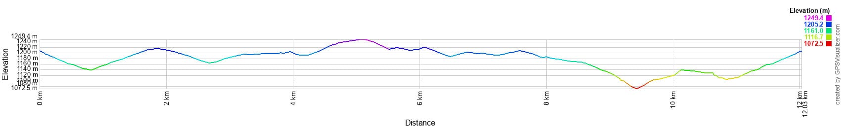
Distance: 12 km, Maximum altitude: 1248 m, Minimum altitude: 1074 m, Total elevation gain: 329 m
IGN Maps: 2838OT - LARGENTIÈRE LA BASTIDE-PUYLAURENT VIVARAIS CÉVENOL.


L'Etoile Guest-House between Cevennes, Ardeche and Lozere in the South of France

Former holiday hotel with a garden along the Allier, L'Etoile Guest House is located in La Bastide-Puylaurent between Lozere, Ardeche, and the Cevennes in the mountains of Southern France. At the crossroads of GR®7, GR®70 Stevenson Path, GR®72, GR®700 Regordane Way, GR®470 Allier River springs and gorges, GRP® Cevenol, Ardechoise Mountains, Margeride. Numerous loop trails for hiking and one-day biking excursions. Ideal for a relaxing and hiking getaway.

Copyright©etoile.fr