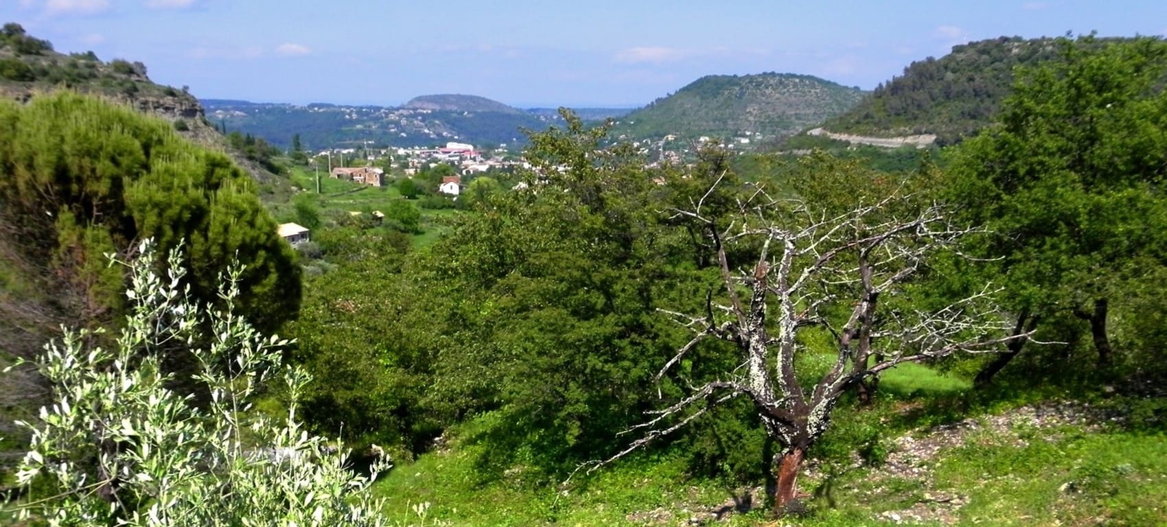
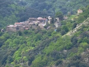
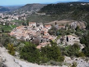
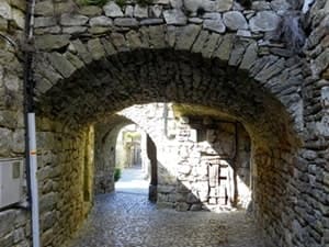
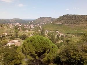
13 km vandring i Les Vans i Ardèche13 km lange Wanderung in Les Vans in der ArdècheSenderismo de 13 km en Les Vans, ArdècheEscursione di 13 km a Les Vans in ArdècheΠεζοπορία 13 χιλιομέτρων στο Les Vans στην Ardèche13 km vandretur i Les Vans i Ardèche

13km hike in Les Vans

13 km:n vaellus Les Vansissa Ardèchessa13 km fottur i Les Vans i ArdècheRandonnée de 13km aux Vans在阿尔代什省Les Vans徒步13公里13-километровый поход до Vans в Ардеше13 km wandeling in Les Vans in de Ardèche
Naves

Google Maps - Google Earth

IGN

Elevation Profile

13km Loop Hike starting from Les Vans in Ardèche 1 13km Loop Hike starting from Les Vans in Ardèche 2 13km Loop Hike starting from Les Vans in Ardèche 3 13km Loop Hike starting from Les Vans in Ardèche 4 13km Loop Hike starting from Les Vans in Ardèche 5

QR code for GPX

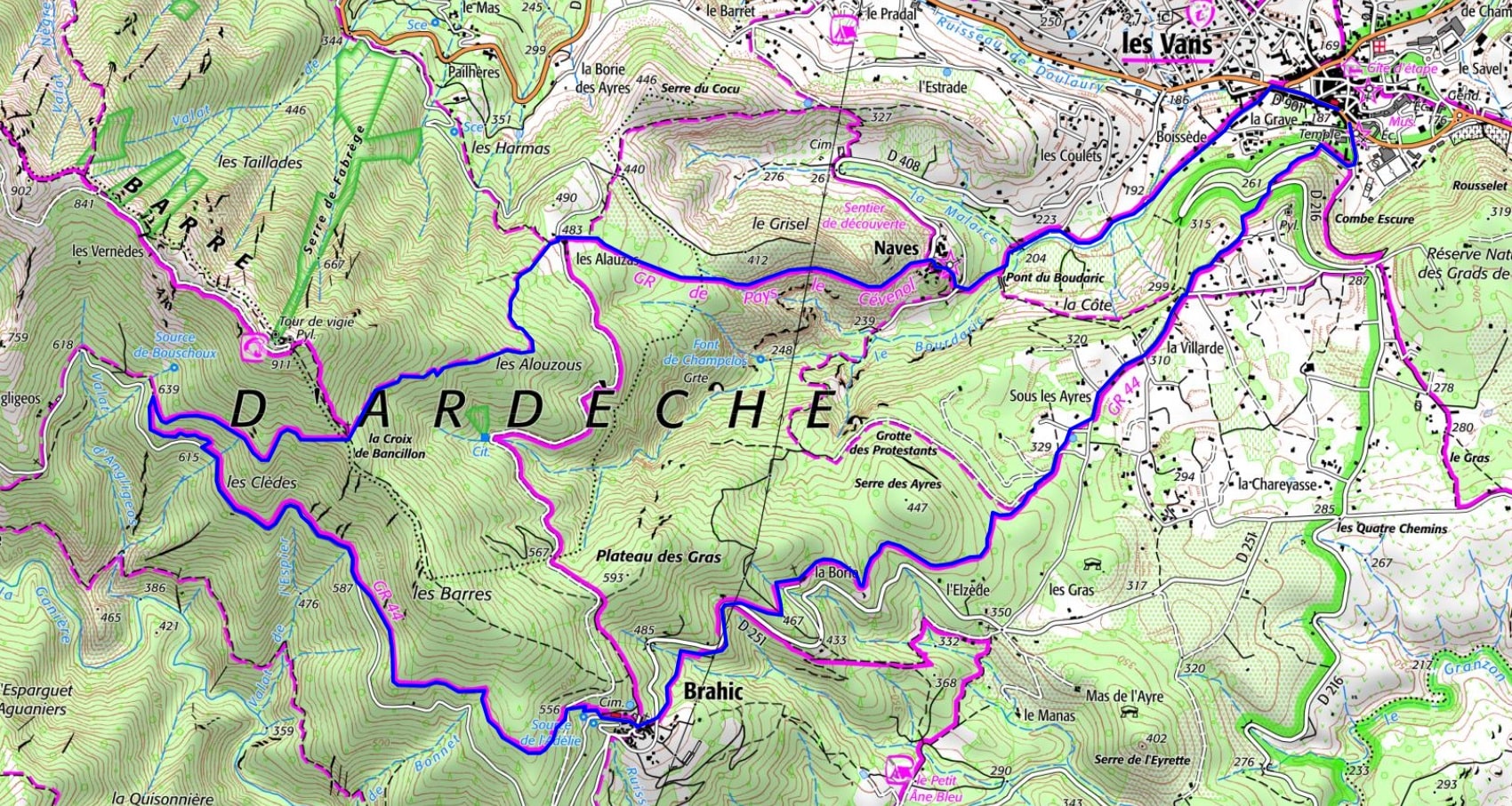
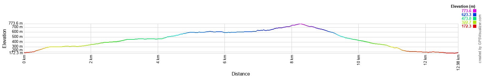
Distance: 13 km, Maximum altitude: 755 m, Minimum altitude: 175 m, Total elevation gain: 594 m
IGN Maps: 2839OT - BESSÈGES LES VANS VALLÉE DU CHASSEZAC.


L'Etoile Guest-House between Cevennes, Ardeche and Lozere in the South of France

Former holiday hotel with a garden along the Allier, L'Etoile Guest House is located in La Bastide-Puylaurent between Lozere, Ardeche, and the Cevennes in the mountains of Southern France. At the crossroads of GR®7, GR®70 Stevenson Path, GR®72, GR®700 Regordane Way, GR®470 Allier River springs and gorges, GRP® Cevenol, Ardechoise Mountains, Margeride. Numerous loop trails for hiking and one-day biking excursions. Ideal for a relaxing and hiking getaway.

Copyright©etoile.fr