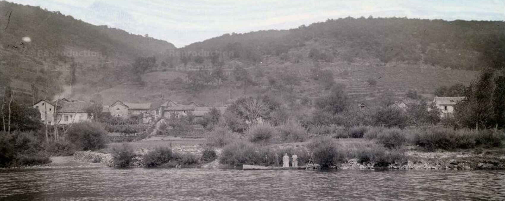
In the 19th century, Lozère was a deeply rural and isolated department. Its raw landscape was shaped by the immense granite plateaus of the Margeride, the rugged schist mountains of the Cévennes, and the vast limestone expanses of the Causses. The history of this era is intimately linked to a significant rural exodus and powerful religious traditions, within a population living in hardship and isolation. The legacy of that time lies today in the stone architecture of its farms and Romanesque churches, but also in the long transhumance trails that once formed the vital economic arteries of the territory. Its flora, dominated by heathlands, beeches, and pines, flourished freely. The fauna, although hunted, remained typical of a wild mid-mountain region. It was only with the slow and late arrival of the railway that this land of strong character gradually opened up to the modern world.
 A geography of altitude and contrasts
Lozère is a high-altitude region, entirely mountainous. To the east, it is crossed by the imposing Cévennes mountain range, which, pivoting around Mont Lozère, divides into the Northern and Southern Cévennes. From east to west, the territory is dominated by two major massifs: the Margeride and Mont Lozère itself. Further west, the Aubrac mountains extend the Margeride foothills. Intersecting these peaks, immense plateaus known as "causses" majestically unfold at altitudes ranging from 750 to 1,000 meters.
 Here are the altitudes of the department's main peaks and remarkable landmarks: the Palais-du-Roi plateau reaches 1,548 meters, the Margeride peaks rise to 1,554 meters, and Mont Lozère dominates the landscape with the Roc des Aigles (1,690 m) and the Pic de Malpertuis (1,683 m). Further south, the famous Mont Aigoual stands at 1,554 meters. Other notable points include the sources of the Allier (1,432 m), the Bougès mountains (1,424 m), the Cham de la Roche (1,328 m), and Mont Mimat overlooking Mende (1,111 m). The causses also boast respectable altitudes: 975 meters for the Causse de Sauveterre, 1,100 meters for the Causse Méjean, and 1,221 meters for the Causse de Montbel. To the west, bordering the Aveyron, the Aubrac mountains average between 1,000 and 1,200 meters, with the Pic de Mailhebiau as their highest point at 1,471 meters. However, the true roof of Lozère remains the Pic de Finiels on Mont Lozère, peaking at 1,699 meters.
These mountain massifs reveal spectacular remnants of past volcanic activity. One can admire dizzying steep rocks, caves adorned with majestic stalactites, and beautiful waterfalls. Despite this particularly rugged terrain, Lozère hosts rich alpine pastures where rye and a little barley were once grown. The central area, the Causses, is the most hospitable for agriculture: these vast fertile plateaus allowed for the production of wheat, oats, fodder, and various fruits. In the southeastern part, in the heart of the Cévennes valleys, the cultivation of mulberry trees thrived, complemented by the essential harvests of chestnuts and potatoes.
 A crossroads of waters and rivers
Lozère's mountainous layout naturally divides the territory into three major watersheds. The first, to the east, flows toward the Rhône valley; being very narrow, it captures the waters of the Chassezac (a tributary of the Ardèche) as well as the three Gardons, which further down form the Gard river. The second, facing north, feeds the vast Loire basin via the Allier and its tributaries, notably the Langouyrou and the Chapeauroux. Finally, the third watershed, oriented to the west, drains its waters toward the Garonne through the Bès (a tributary of the Truyère), the Truyère itself (which joins the Lot), the Lot, and the torrential Tarn river.
 The Allier originates in the dense Mercoire forest, at an altitude of 1,426 meters. For its first few kilometers, it forms the natural border between Lozère, Ardèche, and Haute-Loire, flowing past the municipalities of La Bastide-Puylaurent, Luc, and Langogne. During its journey through Lozère, it is joined by the Chapeauroux, a charming 45-kilometer-long river that winds through the east of the department.
The Lot is also among the region's vital arteries. Its springs emerge on the southern slope of the Goulet mountain, near Le Bleymard. It then flows through Bagnols-les-Bains, Mende, Chanac, and La Canourgue before escaping into the Aveyron, after a winding course of 75 kilometers on Lozère soil.
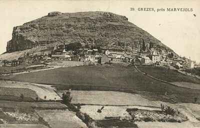
Along the way, it collects the waters of the Colagne, which irrigates Marvejols. Further north, the Truyère, born in the Margeride highlands, flows past Le Malzieu before eventually swelling the Lot, far beyond the department's borders.
 Gorges, natural lakes and a harsh climate
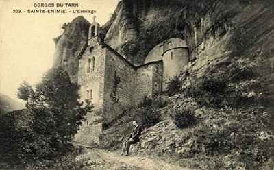
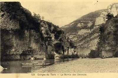
The Bès, a peaceful tributary of the Truyère, partially delineates the border with the Cantal department as it crosses the Aubrac lands. The Tarn, on the other hand, springs from the southern depths of Mont Lozère at an altitude of 1,550 meters. The quintessential torrential river, it flows through Le Pont-de-Montvert, Quézac, Sainte-Enimie, and La Malène, carving breathtakingly beautiful gorges over millennia before entering Aveyron. As for the Cévennes rivers—the Gardon of Mialet, Anduze, and Alès—they also originate in Lozère. While they are often mere trickles of water in the summer, they transform into turbulent and fearsome torrents in the autumn.
 In the Aubrac mountains, there are four remarkable natural lakes: Born, Saint-Andéol, Souveyrols, and Salhiens. The perfectly circular shape of Lac de Born suggests the footprint of an ancient volcanic crater. Lac de Saint-Andéol, the largest of them, appears to have been enlarged by human hands over the centuries.
Although it is geographically subject to the climatic influences of the southwest and the Mediterranean, Lozère experiences a climate made extraordinarily unpredictable by its relief. In a single day, temperatures can fluctuate dramatically. In the north, winters are harsh and can sometimes stretch for nine long months, while they only last four months in the sheltered valleys of the south. Summers are generally stormy, and it is only in late autumn that the weather truly calms down. However, the autumn equinox frequently brings torrential rains (the famous Cévennes episodes) that dangerously swell the waterways. In the 19th century, extremes ranging from -19 °C in winter to +32 °C in the height of summer were recorded around Mende. This climate, though rigorous, is very healthy and forged the legendary resilience of the region's inhabitants.
Geologically, Lozère is a fascinating transition zone. Its northern half, belonging to the Massif Central, features granite soils and ancient volcanic basalts. The south harbors the immense depression of the Causses, consisting of large, dry, and horizontal Jurassic limestone plateaus. Finally, the southeast is completely dominated by the rugged schist massifs of the Cévennes.
 Mineral wealth and thermal baths
At that time, Lozère's subsoil concealed significant metallic riches, unfortunately often left unexploited due to a lack of transport, water, or fuel. Iron deposits were known near Saint-Étienne-du-Valdonnez, as well as lead mines in Le Bleymard or Ispagnac.
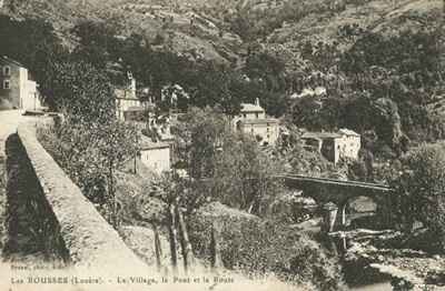 In Vialas, substantial quantities of argentiferous lead were extracted, yielding pure silver that generated handsome profits. Further south, Le Collet-de-Dèze mined antimony. Prospectors also found copper near Florac, and veins of manganese, coal, and kaolin were known to exist. It was even rumored that violent storms sometimes washed a few rare gold flakes into the beds of the Gardon and Cèze rivers.
Lozère was, and remains, a land of lively and beneficial waters. It teems with cold mineral springs, possessing tonic and appetizing properties, dotting the territory from Saint-Chély in the north down to Florac and Ispagnac in the south. The coppery waters of Saint-Léger-de-Peyre were even credited with peculiar curative powers.
The department also shone through its thermal offerings, spearheaded by the famous hot sulfurous waters of Bagnols-les-Bains and the high-altitude spa of La Chaldette, nestled on the Aubrac.
 Mountain agriculture, wildlife and peasant life
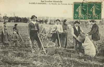
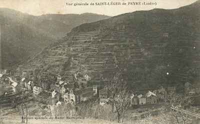
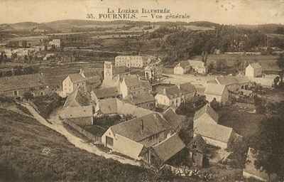
The agriculture of yesteryear in Lozère was a constant challenge. The rugged terrain hindered large-scale farming. Yet, every flat parcel, no matter how small, was meticulously terraced and cultivated by peasants with inexhaustible patience, transforming arid slopes into ingenious gardens. The limestone causses produced the bulk of the department's cereals (wheat, barley, oats), while the highlands yielded little more than rye and abundant fodder. In the Cévennes, the decomposed granite soil allowed for excellent potato harvests, and the cultivation of the mulberry tree—essential for silkworm rearing—was then experiencing its golden age. The valley floors, particularly that of the Lot around Mende, provided excellent vegetables and generous fruit trees.
Vine cultivation remained very anecdotal, confined to the best-exposed slopes of the Tarn Gorges. The wine produced, meant for everyday consumption, did not travel well. In compensation, nature offered chestnuts: the true "bread tree" of the Cévennes, the chestnut tree ensured the food survival of peasant populations during the long winter months. Lozère's incredibly rich flora also hosted many medicinal and dyeing plants. Immense forest massifs, such as those of Mercoire, Aigoual, or Bougès, displayed their majestic stands of oaks, pines, and beeches (locally called "fayards").
Farm animals, shaped by the harsh climate, were generally small in size but astonishingly hardy. The mule, more agile and enduring than the horse on these stony paths, remained the indispensable ally for transport. The small Caussenard sheep provided a very soft wool, and cattle, though modest in size, excelled in their pulling power. During the warmer months, these high-altitude pastures welcomed immense herds of transhumant livestock from the Languedoc plains, often guarded by formidable sheepdogs capable of standing up to the wolves that were still very present in the vast forests. Wildlife was abundant: foxes, badgers, roe deer, not to mention a multitude of birds ranging from the golden eagle to thrushes and woodcocks. In the crystal-clear waters of the lakes and rivers, trout and eels were already a delight for fishermen.
(Based on the 1882 work by Victor Adolphe Malte-Brun)